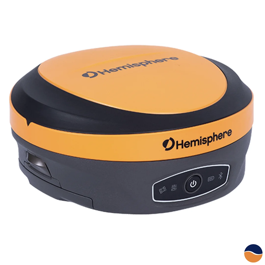
Products » Positioning Solutions » Hemisphere S631 GNSS
The Hemisphere S631 is a multi-frequency, multi-GNSS smart antenna that combines high-precision positioning with a compact and rugged design. Its flexible communications and open GNSS interface support a wide range of surveying and positioning applications.
The S631 can operate as an RTK base station, transmitting corrections to an existing rover network, or as a lightweight rover connected to a base station through UHF radio or Wi-Fi.
Powered by Hemisphere’s Athena™ GNSS engine, the S631 delivers centimetre-level RTK positioning with fast initialisation and reliable performance in challenging environments.
RTK corrections can be received through:
The receiver supports RTK baselines of up to 50 kilometres, depending on operating conditions and the selected configuration.
The built-in WebUI allows users to configure the receiver and monitor its status and operation through a web browser. It can also be used to install firmware updates and activate additional functionality.
The S631 is compatible with Hemisphere’s Atlas global GNSS correction service. Available through a separate subscription, Atlas delivers corrections via L-band satellites and supports sub-decimetre positioning without requiring nearby GNSS reference stations or terrestrial communications infrastructure.
Enter your details to receive our latest news and events: